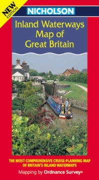
Image for Nicholson Inland Waterways Map of Great Britain

Nicholson Inland Waterways Map of Great Britain

See all formats and editions

The map companion to the Nicholson Waterways Guides, covering the entire network of canals, waterways and river navigations in England, Scotland and Wales.

The map identifies narrow and broad canals, navigable rivers, tidal river navigations and waterways under restoration.The map shows the position of locks, tunnels, access roads, boat hire bases and waterways related visitor attractions.

Other information includes:* Distance markers between all major junctions.* Detailed inset maps of the Norfolk Broads, Birmingham Canal Navigations, the London area, Caledonian, Crinan, Forth & Clyde and Union Canals.* Licensing offices and maximum craft dimensions.Other guides in the seriesNicholson Guides to the Waterways1: London, Grand Union, Oxford & Lee2: Severn, Avon & Birmingham3: Birmingham & the Heart of England4: Four counties & the Welsh Canals5: North West & the Pennines6: Nottingham, York and the North East7: Thames, Wey, Kennet & Avon

Read More
Title Unavailable: Out of Print
Product Details
Nicholson
0702841803 / 9780702841804
Sheet map, folded
06/03/2000
1265 x 952 mm, 133 grams