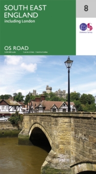
Image for South East England

South East England (Sept 2016 ed)

Part of the OS Road Map series
See all formats and editions

The OS Roadmaps series are single sided folded maps, the 8 maps provide GB 1: 250 000 coverage to enable the end user to navigate and plan their road journey. The maps include all motorways, primary routes and A roads plus detailed tourist information including National Parks, Country Parks and World Heritage sites and a useful town and city gazetteer.

The eight maps in the series are Northern Scotland, Orkney & Shetland, Western Scotland and the Western Isles, Southern Scotland and Northumberland, Northern England, East Midlands and East Anglia, Wales/Cymru and West Midlands, South West England and South East England.

Read More
Title Unavailable: Out of Print

The title has been replaced.To check if this specific edition is still available please contact Customer Care +44(0)1482 384660 or schools.services@brownsbfs.co.uk, otherwise please click 9780319263808 to take you to the new version.

This title has been replaced View Replacement
Product Details
Ordnance Survey
0319263509 / 9780319263501
Sheet map, folded
912.422
12/09/2016
United Kingdom
General (US: Trade) Learn More