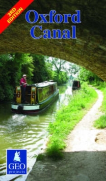
Image for Oxford Canal

Oxford Canal (3 Revised edition)

Part of the Inland waterways maps series
See all formats and editions

This tourist map of the Oxford Canal features the canal corridor at 1:56,500 showing the towpath and facilities available to the boat user with details of boatyards, boat hire and boat trip operators.

The illustrated guide to the canal shows features of interest.

Side one has canal coverage from Oxford to Banbury; detailed plans of Oxford and Banbury at 1:12,500 showing streets, shopping areas, canal facilities and places of interest; and a diagrammatic section along the canal and introduction to the canal's history and future prospects.

Side two has canal coverage from Banbury to Hawkesbury and from Coventry to Bedworth on the Coventry Canal.

The detailed plan of Cropredy at 1:12,500 shows streets, shopping areas, canal facilities and places of interest.

Read More
Available
£4.95
Add Line Customisation
Usually dispatched within 2 weeks
Add to List
Product Details
GEOprojects (UK) Ltd
0863511880 / 9780863511882
Sheet map, folded
10/02/2007
United Kingdom
125 x 213 mm, 43 grams
General (US: Trade) Learn More