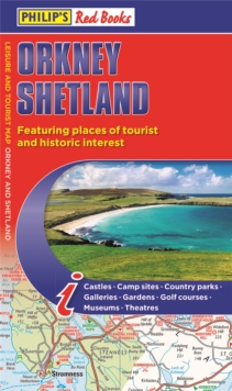
Image for Philip's Orkney and Shetland: Leisure and Tourist Map 2020 : Leisure and Tourist Map

Philip's Orkney and Shetland: Leisure and Tourist Map 2020 : Leisure and Tourist Map

Part of the Philip's Red Books series
See all formats and editions

A leisure and tourist map of Orkney and Shetland, with places of interest clearly marked.

Detailed coverage of the islands' road network. Easy-to-read road mapping, ideal for journey route-planning.

This double-sided leisure and tourist map of Orkney and Shetland gives detailed coverage of the islands' road network at a scale of approximately 2.5 miles to 1 inch.

The Orkney Islands are featured on side one of the map, with the Shetland Islands shown on the reverse.

The maps show places of tourist and historic interest, including castles, camping sites, country parks, galleries, gardens, golf courses, marinas, museums, nature trails, historic sites, sports venues, theatres, theme parks, wildlife parks and zoos.

An index to principal places of interest is also featured on each side of the map for Orkney and Shetland respectively.

In a convenient folded format, this double-sided sheet map is ideally suited for both leisure and business use, whether by locals or visitors to the islands.

Read More
Title Unavailable: Out of Print
Product Details
Philip's
1849075131 / 9781849075138
Paperback / softback
02/05/2019
United Kingdom
126 x 218 mm, 72 grams
General (US: Trade) Learn More