Image for Philip's Street Atlas of London

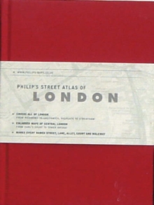
Philip's Street Atlas of London (De Luxe ed)

Part of the Philip's Street Atlases series
See all formats and editions

This new De Luxe edition of the fully revised mini street atlas of London is attractive, professional and discreet - the cover is untitled so that passers-by are unaware of the user consulting a map.

This stylish edition is the perfect accessory for both handbag and briefcase.

The De Luxe edition is offered in a choice of six contemporary and sophisticated colours, each with two ribbon markers, an elastic fastener/page holder, and a section for notes.

The street maps of central London are at 7 inches to 1 mile, with the rest of inner London at the clear scale of 3.5 inches to 1 mile.The maps mark every named street, lane, alley, court and walkway, plus car parks, tube, rail and bus stations, post offices, schools, colleges, hospitals, police and fire stations, places of worship, leisure centres, footpaths and bridleways, golf courses, and many other places of interest.

A theatres and cinemas map of central London locates more than 50 theatres and cinemas, and there is also a map of the entire London Underground.

The comprehensive index lists street names and postcodes, plus hundreds of places of interest. Schools, hospitals, railway stations and shopping centres, etc, are highlighted in red, while leisure and entertainment venues such as museums, galleries and sports grounds are shown in blue.

Read More
Title Unavailable: Out of Print
Product Details
Philip's
0540091103 / 9780540091102
Hardback
912.421
26/02/2007
United Kingdom
320 pages
105 x 138 mm
General (US: Trade) Learn More