Image for Philip's complete road atlas Britain and Ireland 2011

Philip's complete road atlas Britain and Ireland 2011

Philip's(Other)
Part of the Road Atlases series
See all formats and editions

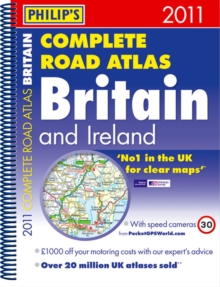
"Philip's Complete Road Atlas Britain and Ireland 2011" contains 160 pages of road maps covering Britain at 3 miles to 1 inch, with the Western Isles, Orkney and Shetland at smaller scales.

The maps clearly mark service areas, roundabouts and multi-level junctions, and in rural areas distinguish between roads over and under 4 metres wide - a boon for drivers of wide vehicles.

The atlas also includes 10 pages of route-planning maps, a distance table, 10 large-scale city approach maps with named arterial roads, and 100 extra-detailed and fully indexed town and city plans.

Read More
Title Unavailable: Out of Print

The title has been replaced.To check if this specific edition is still available please contact Customer Care +44(0)1482 384660 or schools.services@brownsbfs.co.uk, otherwise please click 9781849071550 to take you to the new version.

This title has been replaced View Replacement
Product Details
Philip's
184907108X / 9781849071086
Spiral bound
912.41
05/07/2010
United Kingdom
English
1 atlas (256 p.) : col. maps
30 cm
General (US: Trade) Learn More