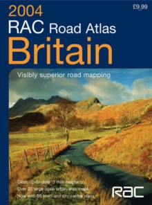
Image for RAC Road Atlas Britain

RAC Road Atlas Britain

See all formats and editions

This road atlas of Britain features mapping at various scales to aid route planning.

It includes: park and ride locations for major cities and towns; route planning maps and limited access junction information; a main map section covering the whole of Britain; full London planning and detail section; 20 urban area maps at one inch to one mile; a comprehensive selection of town and city centre maps; a full index to place names and places of interest; and Ireland at 25 miles to one inch.

Read More
Title Unavailable: Out of Print
Product Details
Collins
0007173407 / 9780007173402
Spiral bound
912.41
06/10/2003
England
English
176 p.
39 cm
general Learn More