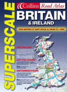
Image for Superscale Atlas Britain and Ireland

Superscale Atlas Britain and Ireland

See all formats and editions

A large scale road atlas showing all the detail of the standard road atlases but in a clearer, much easier to read and follow style.Includes: full map coverage at extra large 2.4 miles to 1 inch; double page Ireland mapping at 16 miles to 1 inch; also includes route-planning maps, details of limited access motorway junctions, a distance chart and full index to place names.Covers the whole of England, I reland, Scotland and Wales.An extremely useful road atlas for people seeking clear, concise map detail with no frills or distractions.

Easy to use and easy to follow.

Read More
Title Unavailable: Out of Print
Product Details
Collins
0004490290 / 9780004490298
Spiral bound
912.41
02/10/2000
England
English
240p.
39 cm
general Learn More