Image for Greece and the Aegean in the 5th Century BCE : Routledge Wall Maps for the Ancient World

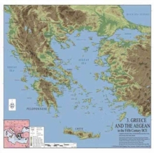
Greece and the Aegean in the 5th Century BCE : Routledge Wall Maps for the Ancient World

See all formats and editions

Routledge Wall Maps for the Ancient World provide both students and scholars with detailed and exacting geographic information of the ancient world.

Using the world renowned geographic data from the Ancient World Mapping Centre, the sweeping views of the ancient world allow students to understand important concepts such as trade, movement, spatial and cultural relations and to consider how the ancient terrain would have affected them.

The maps provide a powerful tool for comprehending how the ancient world worked and also to help re-evaluate out-dated theories in light of precise geographic information.

Those students who are new to the discipline of ancient history will find them invaluable in orientating themselves within the world of the past.

How far is Athens from Sparta, what type of terrain did Alexander have to cross on his journeys, how did the valley of the Nile look in 500 BC?

Such questions and many more are answered by the maps within this series.

The size of the map is 66 x 48 inches.

Read More
Title Unavailable: Out of Print
Product Details
Routledge
0415584418 / 9780415584418
Sheet map
05/01/2011
United Kingdom
2 pages
658 grams
Tertiary Education (US: College) Learn More