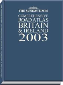
Image for The Sunday Times comprehensive road atlas Britain & Ireland

The Sunday Times comprehensive road atlas Britain & Ireland (2003 ed)

See all formats and editions

An A4 hardback road atlas in a gift binding. The mapping is clear with layer colouring used to show land height and a complete route planning section.

It provides 3.2 mile road mapping of Britain and 16 mile road mapping of Ireland and covers urban maps of the major conurbations, places of interest and fully indexed, detailed town and city centre plans.

Read More
Title Unavailable: Out of Print
Product Details
Collins
0007141068 / 9780007141067
Hardback
912.41
02/09/2002
England
English
xiii, 284 p.
31 cm
general Learn More