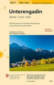
Image for Unterengadin

Unterengadin

See all formats and editions

Popular hiking destinations. The maps depict well-known and popular hiking destinations in Switzerland on one sheet. The paper used is tear-resistant and waterproof. It remains durable, even under adverse conditions or when handled excessively. Easy to read. With a map scale of 1/33 (1km corresponds to 3cm on the map) and clear representation of hiking trails, the maps are now much easier to read. The maps can fit into any trouser, jacket or rucksack pocket.

Printed on both sides, the map covers a large area in a convenient format. Each map includes three hikes with varying degrees of difficulty suggested by the swiss hiking federation.

Read More
Special order line: only available to educational & business accounts. Sign In
£8.76 Save 20.00%
RRP £10.95
Product Details
Swisstopo, Switzerland
3302333277 / 9783302333274
Sheet map, folded
05/05/2020
Switzerland
1 pages
130 x 190 mm