Image for Oxford infant atlas

Oxford infant atlas

See all formats and editions

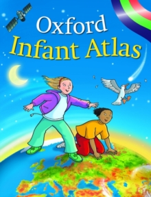
"Oxford Infant Atlas" uses colourful artwork style maps and space images to create an exciting atlas for all 4-7 year olds.

The combination of clear and easy-to-read maps and stunning satellite images in full colour is an excellent introduction to maps.

The content meets the requirements of the National Curriculum at Key Stage 1 with a glossary, contents and index as well as an extended section on Europe, including the European Union, and the United Kingdom.

The Index lists all the place names, which children must know at Key Stage 1.

Read More
Title Unavailable: Out of Print

The title has been replaced.To check if this specific edition is still available please contact Customer Care +44(0)1482 384660 or schools.services@brownsbfs.co.uk, otherwise please click 9780198387473 to take you to the new version.

This title has been replaced View Replacement
Product Details
Oxford University Press
0198321546 / 9780198321545
Hardback
912
01/05/2005
United Kingdom
English
32 p. : col. ill.
23 cm
schools Learn More
A clear and colourful atlas introducing children to maps and answering questions such as what does the Earth look like in space to which countries are in the European Union?
A clear and colourful atlas introducing children to maps and answering questions such as what does the Earth look like in space to which countries are in the European Union? 4KHF For National Curriculum Key Stage 1, 5AD Interest age: from c 4 years, YRW Atlases & maps (Children’s/Teenage)