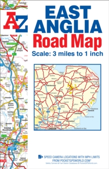
Image for East Anglia Road Map

East Anglia Road Map (30 Revised edition)

Part of the A-Z Road Map series
See all formats and editions

This map of East Anglia is a full colour, single sided, foldout road map covering an area extending to:*Grantham*Boston*King's Lynn*Hunstanton*Cromer*Great Yarmouth*Lowestoft*Aldeburgh*Felixstowe*Clacton-on-Sea*Southend-on-Sea*Central London*Slough*Dunstable*Bedford*Stamford This East Anglia map is shown at a clear 2 kms to 1 cm scale (3.156 miles to 1 inch) and includes the following features:*Motorways open with full junction detail, motorways under construction and proposed, service areas, primary routes and destinations, A & B roads, selected minor roads, tolls, mileages and county boundaries. *Selected safety camera locations with their maximum speed limits and fuel stations. *Selected places of interest, tourist information centres and golf courses. The index section includes a list of cities, towns, villages, hamlets and locations and is printed to the left of the map.

Read More
Title Unavailable: Out of Print
Product Details
Geographers' A-Z Map Co Ltd
178257025X / 9781782570257
Sheet map, folded
912.426
29/10/2015
United Kingdom
1 pages
153 x 238 mm, 114 grams
General (US: Trade) Learn More