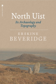
Image for North Uist

North Uist : Its Archaeology and Topography

See all formats and editions

A stranger, upon landing at Lochmaddy - the principal harbour of North Uist - is apt to receive an unfavourable impression from the vast expanse of bogs occupying its east side, which is also absolutely treeless and relieved only by a few hills of no great elevation and by the tortuous recesses of salt water lochs penetrating its seaboard. Thus Erskine Beveridge opens his classic account of the archaeology and topography of North Uist, the island where he spent much of his life.

The range and quality of Beveridge's work was not surpassed until the most recent series of Royal Commission inventories of the 1970s and 1980s and it is all the more extraordinary that this level of expertise and range of knowledge should be combined in one individual.

Adding to the fascination of the book are more than 150 plates showing the island and its sites in a condition from which many have greatly changed.

With sections from earliest times to the post Reformation times, sections on clan history, climate, topography, place names and much else besides, this is not simply the most important book ever written on North Uist but one of the finest works of scholarship ever produced on a Hebridean island.

Read More
Available
£16.00 Save 20.00%
RRP £20.00
Add Line Customisation
2 in stock Need More ?
Add to List
Product Details
Origin
1912476142 / 9781912476145
Paperback / softback
941.14
27/09/2018
United Kingdom
English
528 pages : illustrations (black and white)
24 cm
General (US: Trade) Learn More
Published in Scotland.