Image for Mont Royal - Ville Marie

Mont Royal - Ville Marie : Early Plans and Views of Montreal

See all formats and editions

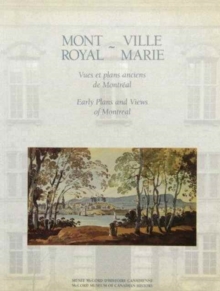
From as early as the seventeenth century, Montreal was the subject of numerous drawings and watercolours. The area was initially mapped by French surveyors and later depicted in the British topographical tradition by artists and military officers whose training included instruction in draughtsmanship. Taken from a variety of collections in addition to the McCord's, these examples of plans and views provide a fascinating cross section of the range of styles of representation until the 1850s and the advent of photography as well as illustrating the growth of Montreal from a fur trade settlement into a metropolitan centre. Each illustration is thoroughly documented and its historical and stylistic context is analysed. Biographical information on the artists is also included.

Read More
Special order line: only available to educational & business accounts. Sign In
£49.60 Save 20.00%
RRP £62.00
Product Details
0773509690 / 9780773509696
Paperback / softback
08/10/1991
Canada
160 pages, 16 colour plates and 110 b&w photographs
229 x 292 mm
Professional & Vocational Learn More