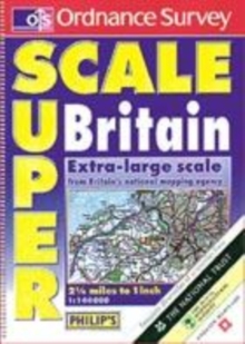
Image for Ordnance Survey superscale Britain

Ordnance Survey superscale Britain (5th ed)

See all formats and editions

A popular large format atlas, with 176 pages of up-to-date digital mapping at an extra-large scale of 2.25 miles to 1 inch.

Packed with motoring detail and tourist information, the mapping in this edition is clearer and more detailed than ever.

It now features an additional 2,500 small villages and hamlets places that are often missed out in other atlases.

The Superscale is now produced in a "portrait" format, making the atlas even easier to use and to read than before.

Other key features include route planning maps and 44 extra-detailed town plans.

London is covered in detail, with four pages of plans of the city centre, four pages of large-scale urban maps and an M25 map.

Also contained is a distances chart and details of restricted motorway junctions.

A special feature of the atlas is its wealth of tourist information, with supplements from the National Trust, National Trust for Scotland, English Heritage, Historic Scotland and the Royal Horticultural Society.

These detail their many historic properties and gardens open to the public throughout Britain.

Also included are maps of national & forest parks and long distance paths.

Read More
Title Unavailable: Out of Print
Product Details
Philip's OS Publications
0540079057 / 9780540079056
Paperback
912.41
12/11/2001
United Kingdom
English
xiii, 224p.
40 cm
general Learn More
Previous ed.: 1999. Ill. and text on inside covers.