Image for Olympiad Value Pack Class 2 : Government Approved Maps Of India And The World, For Exams & Competitions,

Olympiad Value Pack Class 2 : Government Approved Maps Of India And The World, For Exams & Competitions,

See all formats and editions

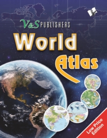
This atlas contains clear and easy to understand physical and political maps of India, continents, regions and important countries of the world supported by diagrams and charts.

The atlas carries extensive coverage of thematic issues such as industry, mineral, agriculture, natural vegetation, climate, power, rail, road, air & sea routes, tourism, heritage, temperature & pressure, environments, whether, human development, metal & non metal, and other important information.

Demographic and socio-economic data of India drawn from reliable sources such as Census of India 2011, Statistical Year Book India 2014.

Information about the world from authoritative published sources.

Comprehensive thematic maps on Indian agriculture & irrigation, food & cash crops, climate, rain, temperature, pressure & winds, metals & non-metals, mining, fuel, industries, transport and other important demographic information Key information and data about countries of the world and world statistics #v&spublishers

Read More
Available
£4.50
Add Line Customisation
Available on VLeBooks
Add to List
Product Details
V & S Publishers
9350579995 / 9789350579992
eBook (Adobe Pdf)
03/03/2017
English
72 pages
Copy: 10%; print: 10%