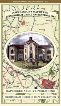
Image for John Hancox's Map of the Birmingham Canal Navigations 1864

John Hancox's Map of the Birmingham Canal Navigations 1864

Part of the Birmingham Historic Maps Collection series
See all formats and editions

Detailed and fascinating survey map of Birmingham's Canal Navigations re-worked from the rare Hancox original dated 1864.

The map folds out to a large 1000mm x 890mm size that is sharp and legible, detailing all the canal navigations covering South Staffs, and part of Warwickshire and Worcestershire.

The map is printed on 90 gsm "Progeo" paper which was specially developed as a map paper.

It has high opacity to help reduce show through and a cross grain giving it greater durability to as the map is being folded.

Read More
Available
£15.99 Save 20.00%
RRP £19.99
Add Line Customisation
2 in stock Need More ?
Add to List
Product Details
Mapseeker Archive Publishing
1844918122 / 9781844918126
Sheet map, folded
27/04/2013
United Kingdom
1 pages
134 x 237 mm
General (US: Trade) Learn More