Image for Collins children's picture atlas

Collins children's picture atlas

See all formats and editions

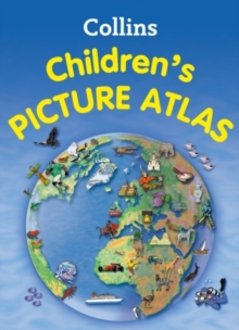
This highly illustrated picture atlas is designed to take children on a journey of discovery around the countries of the world.

The mapping is clear, colourful and highly informative.

Simple activities and quizzes encourage children to find out more about the mapped regions.

Each spread includes introductory text about the region.

Pictorial symbols are used on clear, colourful background mapping to depict themes such as national emblems, customs, food, birds, animals, buildings, sports etc. to help younger readers gain an understanding of peoples around the world.

Continental spreads focus on flags and the most important geographical facts e.g. well known highest, lowest, largest physical and demographic features.

Additional Features: * A variety of activity based features accompany the mapping on each spread designed to encourage the reader to extract information from the map. * Fascinating facts about each country -presented in a fun way for each spread * Website links are listed to assist further study for the older child.

Read More
Special order line: only available to educational & business accounts. Sign In

The title has been replaced.To check if this specific edition is still available please contact Customer Care +44(0)1482 384660 or schools.services@brownsbfs.co.uk, otherwise please click 9780008115395 to take you to the new version.

£8.99
This title has been replaced View Replacement
Product Details
Collins
0007479441 / 9780007479443
Hardback
912
15/06/2012
United Kingdom
English
xvii, 64 p. : col. ill., col. maps
32 cm
Children / Juvenile Learn More
Reprint. Published in Scotland. Originally published: as Collins children's pictorial atlas. 2007.