Image for Highways of Empire

Highways of Empire

See all formats and editions

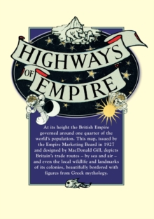
At its height the British Empire governed over one quarter of the world's population.

With his unique style and characteristic sense of humour, in 'Highways of Empire' MacDonald Gill depicts its trade routes - by sea and air - and even the local wildlife and landmarks of its colonies.

The whole is beautifully bordered with a celestial design featuring night and day and figures from Greek mythology.

This map, issued by the Empire Marketing Board in 1927, is one of Gill's most eye-catching designs. (Map measures: 620 x 922mm)

Read More
Title Unavailable: Out of Print
Product Details
Osprey Publishing
1908402393 / 9781908402394
Sheet map
909.82
26/07/2012
United Kingdom
1 col
922 x 620 mm, 116 grams
General (US: Trade) Learn More