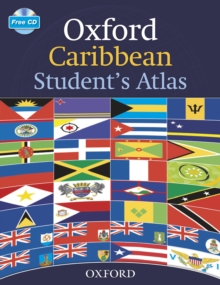
Image for Oxford Caribbean Student's Atlas

Oxford Caribbean Student's Atlas

See all formats and editions

This new atlas contains comprehensive coverage of the countries and oceans of the Caribbean and includes up-to-date statistics.

It includes clear thematic, topographic maps of all the Caribbean Islands and uses satellite images to enhance and clarify map details.

Easy to use features include a multi-access contents page, clear explanations of graphics and flags of the Caribbean at a usable size.

Read More
Special order line: only available to educational & business accounts. Sign In
£216.86
Product Details
Oxford University Press
0198357389 / 9780198357384
eBook (Adobe Pdf)
02/10/2014
English
1 pages
1.00 grams
Copy: 10%; print: 10%