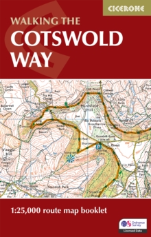
Image for The Cotswold Way Map Booklet

The Cotswold Way Map Booklet : 1:25,000 OS Route Mapping (2 Revised edition)

Reynolds, Kev(Contributions by)
See all formats and editions

A guidebook to walking the Cotswold Way National Trail between Chipping Camden and Bath.

Covering 163km (102 miles) across the Cotswolds National Landscape this straightforward hike takes 2 weeks to walk. The full route line is shown on 1:25,000 OS maps The map booklet can be used to walk the trail in either directionSized to easily fit in a jacket pocketThe relevant extract from the OS Explorer map legend is includedAn accompanying Cicerone guidebook – Walking the Cotswold Way is also available, which includes a copy of this map booklet

Read More
Available
£7.46 Save 25.00%
RRP £9.95
Add Line Customisation
10 in stock Need More ?
Add to List
Product Details
Cicerone Press
1786312115 / 9781786312112
Paperback / softback
28/02/2024
United Kingdom
48 pages
106 x 166 mm, 60 grams