Image for Mapping Europe's Borderlands

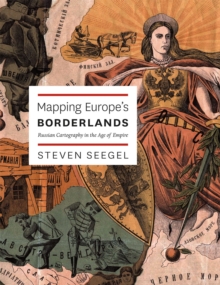
Mapping Europe's Borderlands : Russian Cartography in the Age of Empire

See all formats and editions

The simplest purpose of a map is a rational one: to educate, to solve a problem, to point someone in the right direction.

Maps shape and communicate information, for the sake of improved orientation.

But maps exist for states as well as individuals, and they need to be interpreted as expressions of power and knowledge, as Steven Seegel makes clear in his impressive and important new book. "Mapping Europe's Borderlands" takes the familiar problems of state and nation building in Eastern Europe and presents them through an entirely new prism, that of cartography and cartographers.

Drawing from sources in eleven languages, including military, historical-pedagogical, and ethnographic maps, as well as geographic texts and related cartographic literature, Seegel explores the role of maps and mapmakers in the east central European borderlands from the Enlightenment to the Treaty of Versailles.

For example, Seegel explains how Russia used cartography in the aftermath of the Napoleonic Wars and, later, formed its geography society as a cover for gathering intelligence. He also explains the importance of maps to the formation of identities and institutions in Poland, Ukraine, and Lithuania, as well as in Russia.

Seegel concludes with a consideration of the impact of cartographers' regional and socioeconomic backgrounds, educations, families, career options, and available language choices.

Read More
Title Unavailable: Out of Print
Product Details
University of Chicago Press
0226744256 / 9780226744254
Hardback
14/05/2012
United States
English
384 p. : ill. (some col.)
26 cm
Postgraduate, Research & Scholarly Learn More