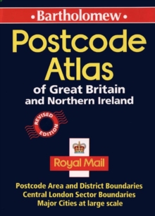
Image for POSTCODE ATLAS GT BRITAIN N

POSTCODE ATLAS GT BRITAIN N (New ed)

See all formats and editions

Features maps showing the postcode areas and districts for the whole of Great Britain and Northern Ireland.

Also included in the atlas are: indexes to place names and postcode abbreviations; information on the structure and use of postcodes; and enlarged maps of central London and conurbations.

Read More
Special order line: only available to educational & business accounts. Sign In
£35.00
Product Details
Bartholomew
0702836826 / 9780702836824
Hardback
912.41
06/04/1998
England
English
200p.
30 cm
general Learn More
Previous ed.: 1995.