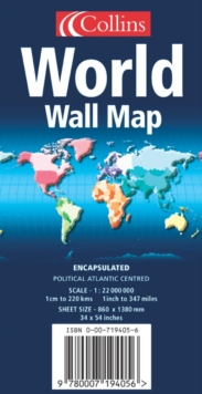
Image for World wall map  : political, Atlantic centred

World wall map : political, Atlantic centred (Rev. ed)

See all formats and editions

ENCAPSULATED EDITION An ideal reference map that covers the whole World, showing the political units on every continent.

Scale 1:22 000 000; 1 cm to 220 km; 1 inch to 347 miles MAIN FEATURES Political map showing individual countries including roads, railways and physical features.

Continents shown by individual colour. AREA OF COVERAGE All of the world, centred on the Greenwich Meridian.

WHO THE PRODUCT IS AIMED AT Home and business reference user.

Also available rolled in tube and laminated in tube EXAMPLES OF UPDATES: Asia:Reduced area of Aral Sea now shown Malaysia: Putrajaya shown as joint capital South Africa: Tshwane shown as alternative name for Pretoria Australia: new railway line from Alice Springs to Darwin

Read More

The title has been replaced.To check if this specific edition is still available please contact Customer Care +44(0)1482 384660 or schools.services@brownsbfs.co.uk, otherwise please click 9780007207237 to take you to the new version.

£24.99
This title has been replaced View Replacement
Product Details
Collins
0007194056 / 9780007194056
Map
912
07/06/2004
England
English
on sheet 86 x 140 cm
general /research & professional Learn More
In tube.
ENCAPSULATED EDITION An ideal reference map that covers the whole World, showing the political units on every continent. Scale 1:22 000 000; 1 cm to 220 km; 1 inch to 347 miles * Modern, attractive cartographic style * Excellent value at GBP24.99 * Wipe clean plastic encapsulation