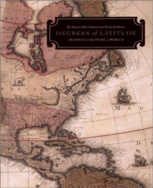
Image for Degrees of Latitude

Degrees of Latitude : Mapping Colonial America

See all formats and editions

The maps of the 16th, 17th and 18th centuries held by the Colonial Williamsburg Foundation provide an invaluable resource for those studying the history of settlement in America.

In the colonies, maps were essential in facilitating trade and travel, substantiating land claims and settling boundary disputes.This cultural investigation explores how maps were made and marketed during that period and how they impinged on everyday life in the new colonies.

It examines why people in the US and abroad purchased them, what they reveal about the emerging American nation, and why they were so significant to the individuals who owned them.

Read More
Title Unavailable: Out of Print
Product Details
Harry N. Abrams, Inc.
0810935392 / 9780810935396
Hardback
04/08/2003
United States
English
512 p. : ill. (chiefly col.)
29 cm
general /research & professional /academic/professional/technical Learn More