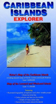
Image for Caribbean Islands Explorer : Visitor's Map of the Caribbean Islands and Map of the Leeward and Windward Islands

Caribbean Islands Explorer : Visitor's Map of the Caribbean Islands and Map of the Leeward and Windward Islands

Sitwell, NigelCruwys, Liz(Contributions by)Riffenburgh, Beau(Contributions by)
Part of the Ocean Explorer Maps series
See all formats and editions

A fold-out visitor's map (scale 1: 4 000 000 for the Caribbean Islands and 1 : 1 000 000 for the Leeward and Windward Islands), that measures approximately 100 x 69 cm (W x H) when unfolded.

It features illustrated biographies of explorers and other notable people, an historical timeline, colour photos and descriptions of wildlife, details of many visitor sites and general information about the islands.

Read More
Available
£9.99
Add Line Customisation
Usually dispatched within 2 weeks
Add to List
Product Details
Ocean Explorer Maps
0954371704 / 9780954371708
Sheet map, folded
912.729
31/12/2003
United Kingdom
colour & b/w photos, b/w illustrations, colour maps, scale: 1 : 4 000 000 (Caribbean) and 1 : 1 000
125 x 230 mm
General (US: Trade) Learn More