Image for Antarctic (1:8.000.000)

Antarctic (1:8.000.000) (2 ed)

See all formats and editions

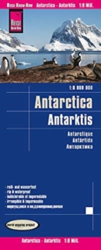
Highly tear-resistant and 100% waterproof map "Antarctica" from the series world mapping project, published by Reise Know-How Verlag.

This map is also available from the publisher unfolded.

Travel know-how maps are characterized by particularly stable plastic paper, which is writable like paper, even with pencil.

The cardboard envelope is removable, so the card can be easily inserted into any pocket.

A protective cover is not required. The cartographic representation focuses on the most important information for travelers and is particularly easy to read.

Equipment: - Contour lines with altitude indications; itineraries of historical expeditions (e.g.

Amundsen, Scott, etc.); - research stations; - territorial claims of the various States; -Coastline; - penguin breeding areas; - Five-language legend (german, English, French, Spanish, Russian).

Handy format: 70x100 cm, printed on 1 sides. Languages: English, French, German, Russian, Spanish

Read More
Available
£7.96 Save 20.00%
RRP £9.95
Add Line Customisation
Usually dispatched within 4 weeks
Add to List
Product Details
3831774382 / 9783831774388
Sheet map, folded
14/02/2020
Germany
1 pages
70 x 100 mm